
We sailed the 750 miles from the Abaco Islands to Norfolk, VA, primarily to get North towards Maine. The passage was mostly between 100 and 40 miles offshore, since our mast is too high to use the popular IntraCoastal Waterway. It was a fairly fast trip, taking 5 days, with only one tack.
The map is based on a satellite image showing the temperature of the Atlantic waters in late April 2007. The warm (dark orange) water shows where the Gulf Stream was.
We obtained the map from the Internet just before leaving Marsh Harbour, but by the time we were off Georgia, the Stream was further East, so we had to chase it.
As you can see, the waters off Maine were chilly in April, which is why we took a month to pass through the Chesapeake Bay, and another month to reach Maine.
Today (21st June 07) the water in our anchorage in Maine is at 18 deg C. Cool but a lot better then the 5 degrees or so of April.
It appears on this map that we cut across land at the North of the Chesapeake Bay, but we took a shipping canal instead.
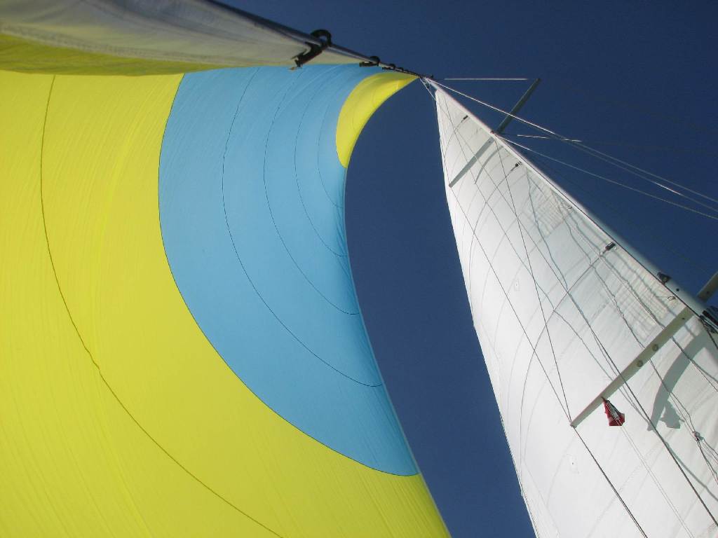
All went well for two days then we tried to sail too close to the wind with this sail and split it along the blue/yellow seam. We were not about to wrestle with 750 sq ft of canvas in the sewing machine on board, so lived with the smaller, heavier jib.

(Double click any of the photos to see full size, then use the back button on your browser to return here)

The water stayed Gulf-Stream-blue till we were within a quarter mile of the notorious Diamond Shoal light, which marks the limit at Hatteras.
We turned hard to port there to head for the Chesapeake Bay. The water turned grey/green, and the temperature dropped from 27 C to 17 C in about 5 minutes. No more shorts for a day or so, but the Chesapeake Bay itself was not too cold.

While there, this replica of the first ship to bring colonists to the area (in the early 17th century arrived.) Notice the people on deck. the ship is SMALL, yet something like 70 people crossed the Atlantic in it.

Sailing is quite domesticated, with sheltered water, lots of anchorages and stores available everywhere.
The only significant limitation on anchoring is that some bays are surrounded by private houses, with no way to go ashore, and no stores or other services nearby if we did.
We saw ospreys nesting on the top of many of the navigation markers. This one rose up to let us know to stay away from her chicks.

Resurrected over the past 20 years or so from urban blight, it is a mixture of large hotels, major offices, and entertainment centre, downtown living and a museum. It is well worth a visit if you are driving I 95 or cruising in the area. The anchorage is congested, with everything from pedalos running around to tall ships.
Photos below and to left. We are the largest visible on the left
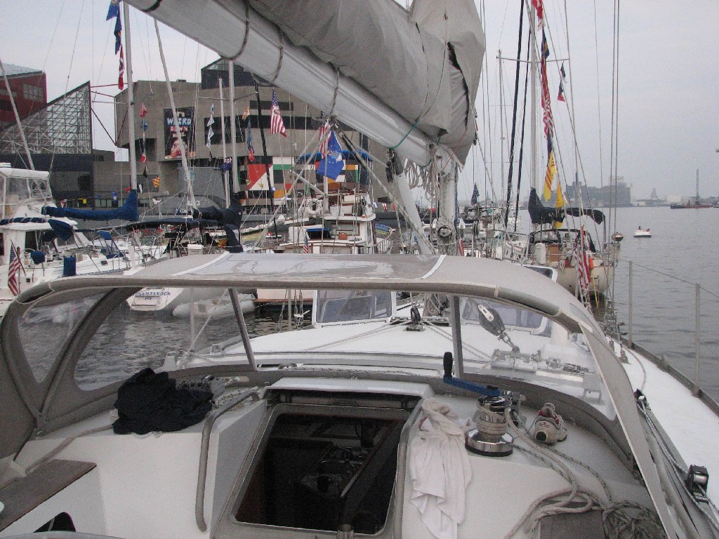
Looking at the anchorage from the cockpit is more like being in a marina, than being anchored, the other boats are so close
 This
brilliantly coloured guy was in the Baltimore Aquarium, about 100 metres
from where we anchored.
This
brilliantly coloured guy was in the Baltimore Aquarium, about 100 metres
from where we anchored.
Looking across the harbour, with Milvina in the midst of pedalo dragon-boats. Quite a contrast to uninhabited Bahamian anchorages that we have seen more of.
(Double click any of the photos to see full size, then use the back button on your browser to return here)
 The
Argentinean Navy officers training ship, the Libertad is an impressive
sight.
The
Argentinean Navy officers training ship, the Libertad is an impressive
sight.She has been around the world several times.
As this shot shows, it takes a lot of rope to run a ship.

 The
subway is more fun than Montreal, even if the magician looks scary
The
subway is more fun than Montreal, even if the magician looks scary This
store sells on the street. It was hard to find
someone to pay. So much for the "high crime" reputation of
NY city.
This
store sells on the street. It was hard to find
someone to pay. So much for the "high crime" reputation of
NY city.
After NY city, Helen and Neil sailed to Newport Rhode Island, and we had a quick crew swap for 3 days when she had to go home but Michael and his friend Bobby Hughes jumped on board to sail to Rockport, Massachusetts (NE of Boston) in mid-June 07.
We met about 70 boats in the Marion, MA to Bermuda race shortly after their start, We were beating up Buzzards Bay as they ran down.